
BY: We the Italians Editorial Staff
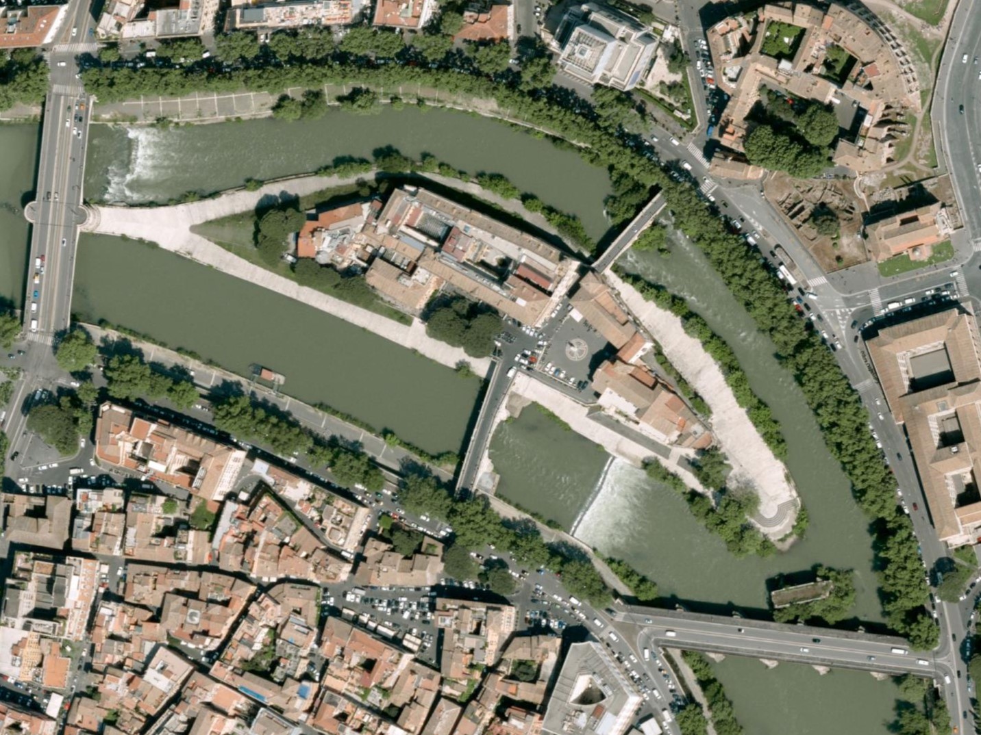
Italy is preparing to launch an ambitious project that will create a full digital twin of its soil and terrain. The initiative combines advanced aerial laser scanning, satellite imaging, and artificial intelligence to build a highly detailed three-dimensional model of the country’s land surface.
Once complete, this virtual replica will serve as a powerful tool for monitoring environmental changes, supporting infrastructure planning, and improving disaster response. The system relies on aircraft equipped with LiDAR sensors, which can capture the smallest variations in elevation and texture.
You may be interested
-
'Pop' and 'Rock' trains to bring free Wi-fi t...
The Italian rail infrastructure administrator Ferrovie dello Stato Italiane has unveiled i...
-
'The Precise Image of What Jesus Looked Like'...
One of the most-well known relics in archeological history is leading researchers to belie...
-
'Time travel' at Caracalla with 3D marbles,st...
Thanks to a new 3D visor, visitors to Caracalla's Baths in Rome have been restored to thei...
-
‘A crucial turning point’ — Italian researche...
Italian agriculture could be close to a turning point, thanks to genetic engineering. This...
-
‘Ritratti di Donne 2 – Science’ for the Itali...
In 2021 italiana.esteri.it launched an ambitious project: Ritratti di donne, a gallery of...
-
‘We don’t need another Michelangelo’: in Ital...
For centuries, the massive marble quarries above the Tuscan city of Carrara have provided...
-
"Caffè scientifico" : Research and Society -...
When: Friday, April 26, 2019 from 7:00 PM to 9:00 PM Where: Italian Cultural Institute | 5...
-
"E4Shield," the Italian device that stops Cov...
An innovative tool capable of ferreting out the circulation in the air not only of the ori...


