Jun 09, 2017
2660
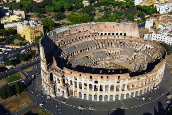
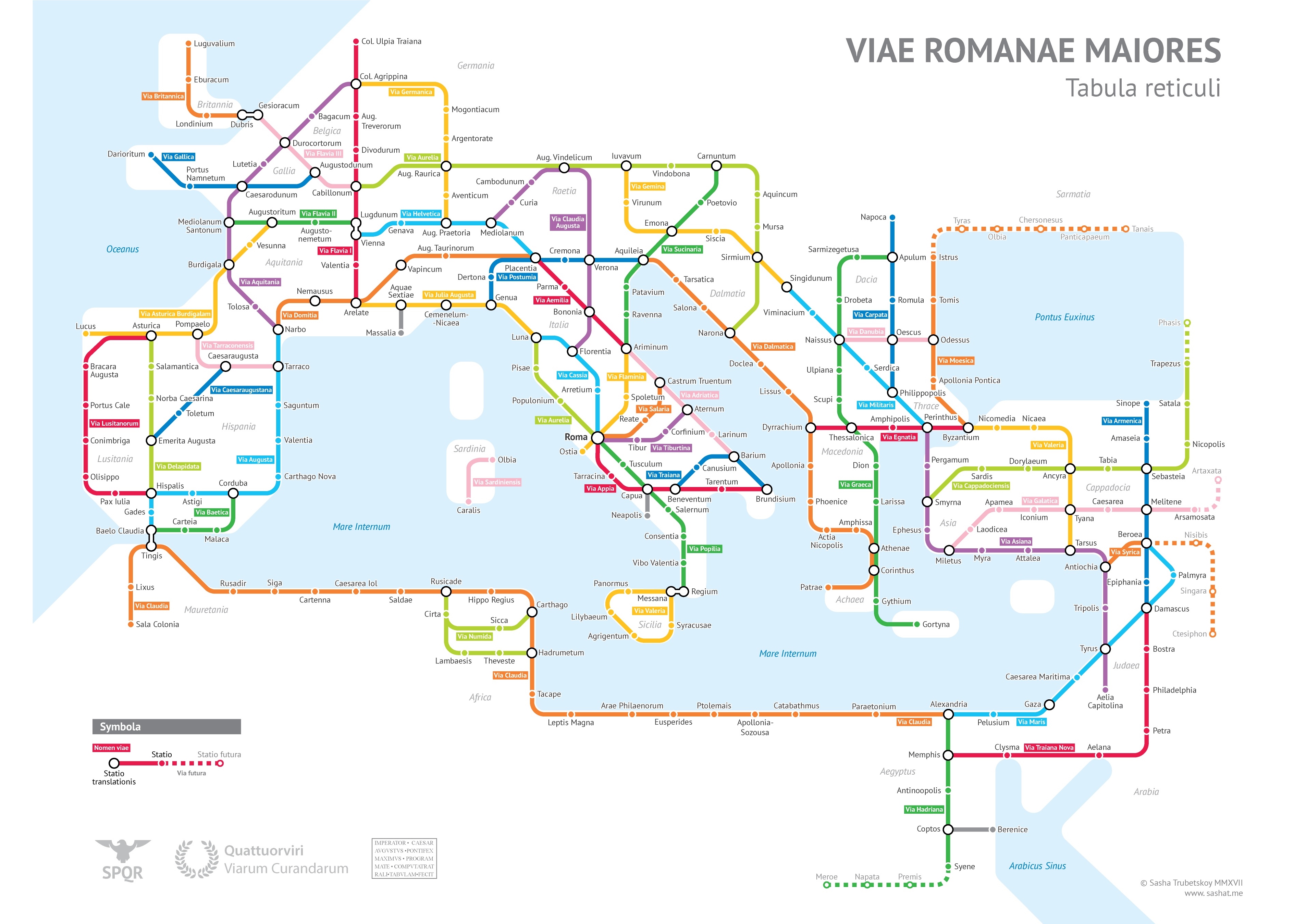
Sasha Trubetskoy, an undergrad at U. Chicago, has created a "subway-style diagram of the major Roman roads, based on the Empire of ca. 125 AD." Drawing on Stanford’s ORBIS model, The Pelagios Project, and the Antonine Itinerary, Trubetskoy's map combines well-known historic roads, like the Via Appia, with lesser-known ones (in somes cases given imagined names).
If you want to get a sense of scale, it would take, Trubetskoy tells us, "two months to walk on foot from Rome to Byzantium. If you had a horse, it would only take you a month."
SOURCE: http://www.openculture.com/
You may be interested
-
Exciting Palatine. Interview with Clementina...
You can tell she fills with excitement when she has the chance to show an important archae...
-
Italian Open's History and Records: A tale o...
For Italians, and Romans in particular, the Open is not just a tennis tournament where cha...
-
'Basilica of Mysteries' reborn in Rome
The so-called 'Basilica of the Mysteries' has been reborn in Rome. The basilica, one of th...
-
'Carbonara Day' celebrates famous pasta dish
On Friday, April 6, the world will celebrate "Carbonara Day", an occasion launched by the...
-
'Gladiators' bring Roman flavor to R.I. polo
As thousands of sharply dressed spectators converged on the turf of Newport International...
-
'Hot priests' grace Rome's calendar
It is officially called the Calendario Romano, or Roman Calendar. But on the streets of Ro...
-
'No one should be left behind': Italian teen...
A 15-year-old boy, known as Simone, has become an overnight internet sensation after stand...